Hikes Near Wy’East (Hood)

Salmon River | 12.5 miles | 2300 ft of elevation gain | There are many possibilities with this trail. There’s no bad time of year to go. No wrong length to travel. No wrong trailhead at which to begin. Walking through forest, along the creek, over bridges, and overlooking the valley below (if you make it that far) is always a gift.

Twin Lakes | 7 miles | 1200 ft of elevation gain | A nice shady hike south of Wy’east. Relatively flat. Not ideal for distance views, but excellent if you just want to wander with ease through the forest and see a mountain lake or two.

Burnt Lake and East Zigzag Mountain | 10.5 miles | 2300 ft of elevation gain | An almost completely shady trail with creeks, waterfalls, and a lake. Fantastic views at the top. Look for the fire-hollowed tree, go inside, look up, and see if you can find Love.

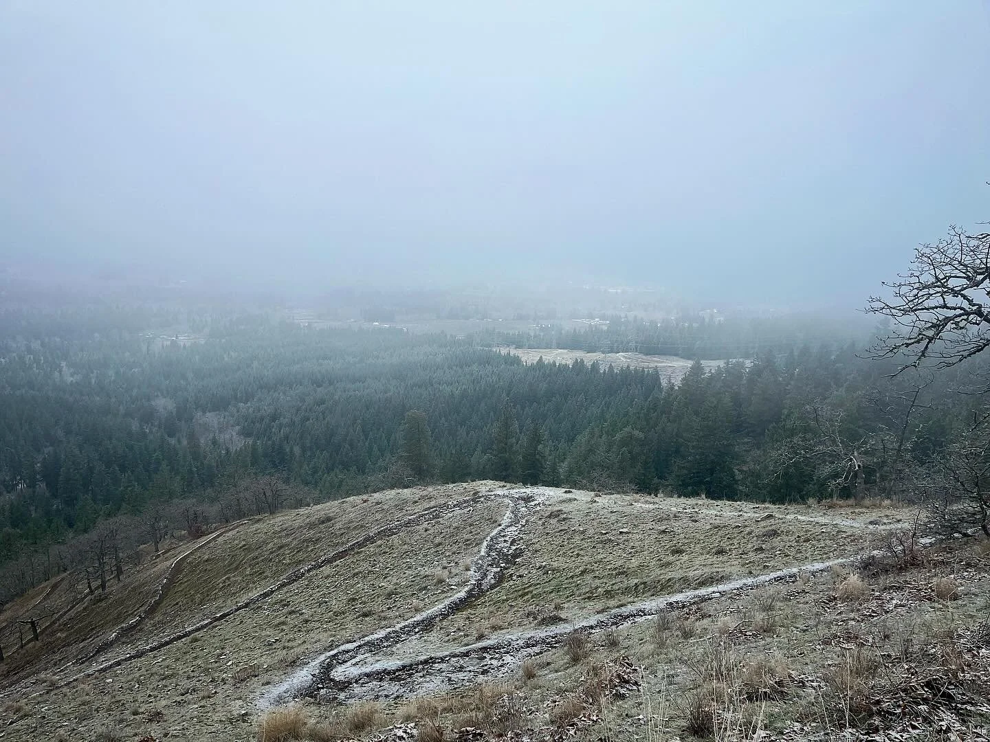
Table Rock Trail | 8 miles | 1800 ft of elevation gain | The Table Rock Wilderness is in the Molalla River area (more of a Hwy-213 than Hwy-26 trip). On a clearer day I would have had nice views of all of Oregon’s major Cascade peaks, but it was too foggy to see beyond what was right in front of me. Point taken, nature!

Wildcat Mountain | 5 miles | 1000 ft of elevation gain | A hike on the western side of the Salmon-Huckleberry Wilderness (turnoff at Shorty’s Corner just past Sandy). Great views of Eagle Creek Canyon and partial views of Wy’east (Hood) through the trees. Loads of beargrass and rhododendron in their winter form, when I visited.
Oak Ridge to Bald Butte | 9.5 miles | 2700 ft of elevation gain | This trail, NE of Wy’east, supposedly is a great late spring trail for wildflowers and views (on a clear day) of Wy’east. I went in December and enjoyed an easy drive to the trailhead and a snowy summit.

Lookout Mountain | 10 miles | 3000 ft of elevation gain | A nice hike in the Badger Creek Wilderness, east of Wy’east, starting from the Gumjuwac Trailhead. A forested climb up to the ridge, with plenty of views and meadows to follow, including a good view of Wy’east, on a clear day.

Cool Creek to Devil’s Peak | 8 miles | 3200 ft of elevation gain | Abandoned lookout towers are so cool! This hike takes you to one, while passing through your typical bear grass and rhododendron filled Wy-east area forest and even the “old main of the mountain” rock.

Tom, Dick, and Harry Mountain | 7.5 miles | 1400 ft of elevation gain | This trail includes the busier Mirror Lake Trail but goes beyond it, taking you up to the three-pronged ridge of…Tom…Dick…and Harry…Mountain. You might meet a critter friend or two!

Castle Canyon Trail to West Zigzag Mountain | 13.5 miles | 3500 ft of elevation gain | Some snow, some wildflowers, some fascinating rock formations, some perfectly adequate views of surrounding peaks and valleys (a little too foggy/cloudy to see much of Wy’east). A steep, uncrowded hike. I don’t remember why I started at the Castle Canyon trailhead instead of the West Zigazg Mountain trailhead.

Timothy Lake | 13 miles | 500 ft of elevation gain | Looking for a long hike on a hot day? Jackpot! I went too late in summer to enjoy the rhododendron and beargrass on the forest trail around the lake, but the easy forest path was just what I needed, as was the dip in the lake at the end. Don’t miss “Little Crater Lake” on a short side trail. Be prepared for LOTS of campers in August.